Probing the Australian-Pacific Plate Boundary: Macquarie Ridge in 3D (Updated)
Updates


An article in EOS, the scientific magazine of the AGU by Hrvoje Tkalčić, Caroline Eakin and others
 Hrvoje Tkalčić
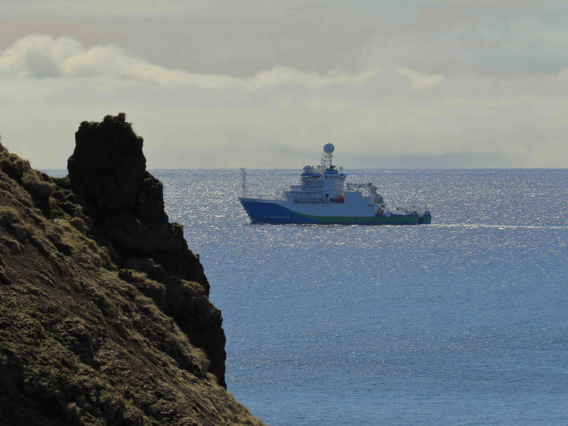
(Note: this post is updated when new diary entries are posted — LM)
Mike Coffin's blog at the Institute of Marine and Antarctic Studies, UTas
The research voyage is aimed at shedding light on Macquarie Island’s underlying structure and geological evolution, while also enabling monitoring of future earthquakes and tsunamis that could affect Australia and New Zealand. It will allow researchers to produce the first high-resolution maps of the seafloor surrounding Macquarie Island, much of it lying within the island’s Nature Reserve and Macquarie Island Marine Park.
Professor Mike Coffin, IMAS shares his thoughts on the voyage.
 Authorised by the Executive Director, Institute for Marine and Antarctic Studies
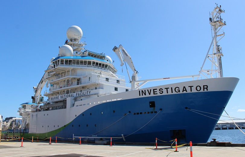
Background to the research voyage
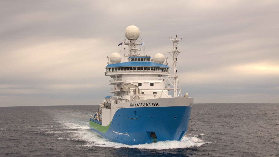
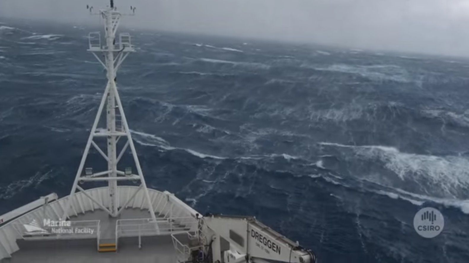
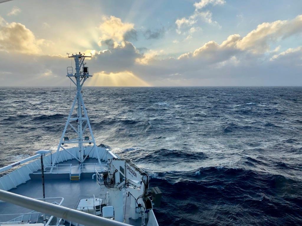
The team will sail on CSIRO research vessel Investigator, to a remote area known as Macquarie Ridge, halfway between New Zealand and Antarctica, to place special monitoring equipment on the ocean floor.
The monitoring will provide vital information about some of the Earth's most violent underwater earthquakes. It could also help scientists understand future earthquakes and tsunamis that might affect coastal populations in Australia and New Zealand.
The project's Chief Scientists, Hrvoje Tkalčić and Caroline Eakin will lead the research team from The Australian National University and say it will be a "ground-breaking" trip.
At the same time, scientists from University of Tasmania led by Mike Coffin, will conduct research that will allow them to produce the first high-resolution maps of the seafloor surrounding Macquarie Island. These maps are critical for selecting sites to deploy the equipment on the rugged seafloor, much as high-resolution maps are required to ensure the safe deployment of landers on the Moon, Mars, Venus, and other planets and moons.
.jpg)
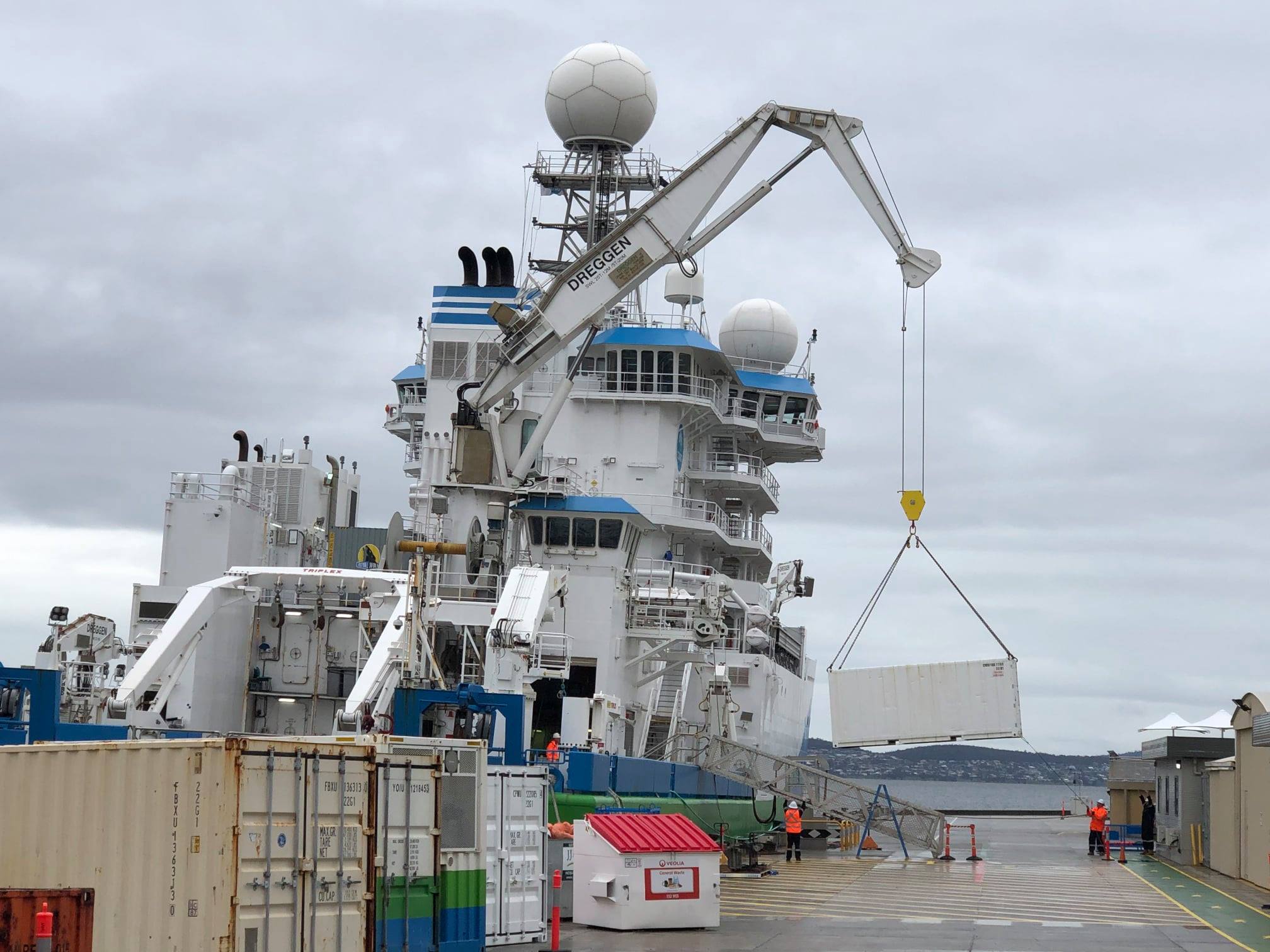
Ocean Bottom Seismometers (OBSs)
AuScope and the ANU operate a suite of OBS instruments for the Australian community. Read about the ocean bottom seismometers: how they work, what they look like and the technical skill it takes to deploy sensitive seismic equipment over the side of a ship and, how to get them back.
 RV Investigator
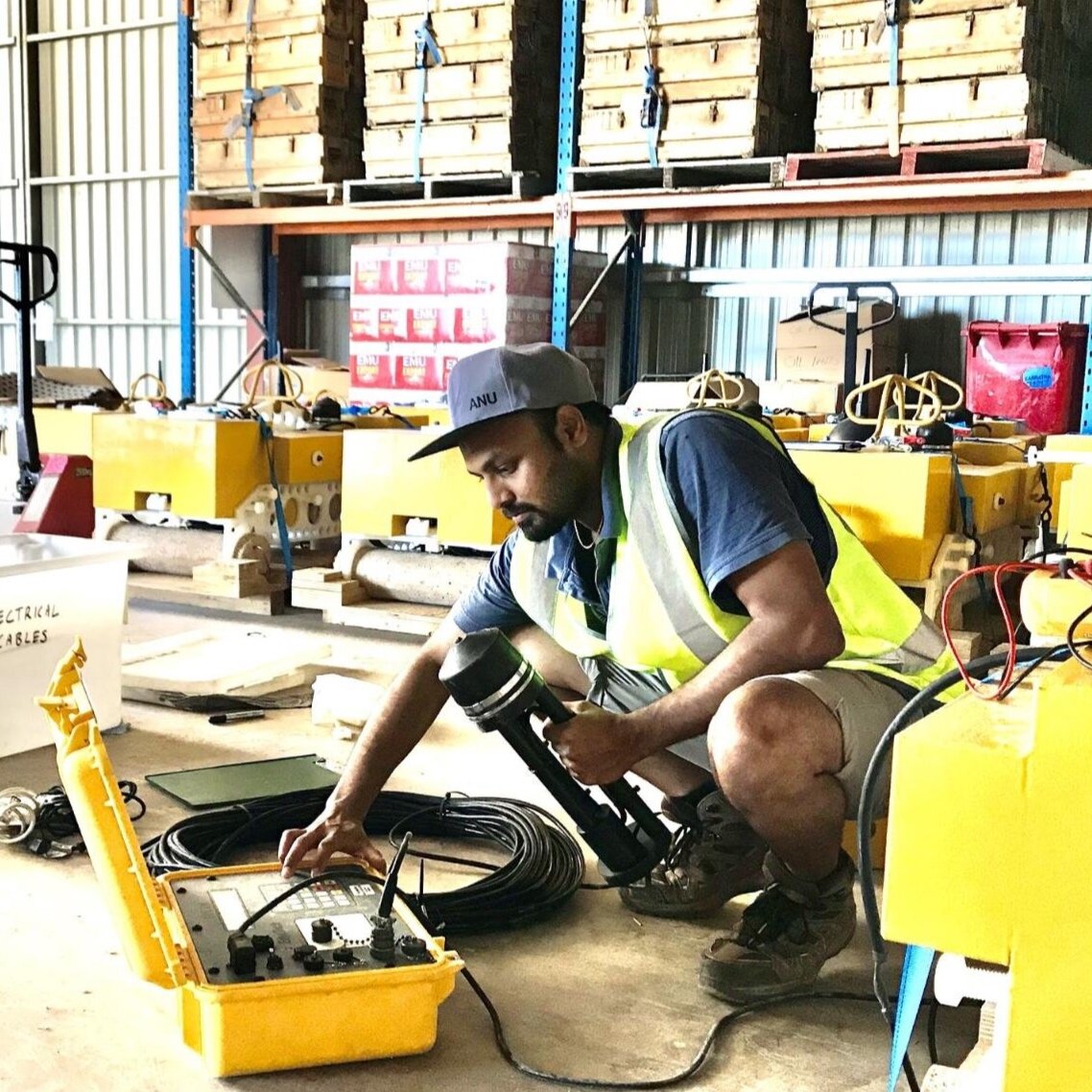
Updated (June 15, 2021)