Shallow earthquakes in Australia
Earthquakes rupture on faults that cut through the Earth crustal layers (e.g. Fig. 1). Shallow earthquakes occur when seismic activity takes place within the top 30km of the earth's crust and they account for majority of the Earth's seismic activity. These earthquakes are also among the most destructive and violent natural disasters in history in the Pacific ‘ring-of-fire’. The Great Sumatra earthquake and associated tsunami that occurred on Boxing Day 2004, killed ~230,000 people in 14 countries.
Australia is surrounded but it is far from plate boundaries. Therefore, we might think it is safe from large shallow earthquakes. Indeed the number of earthquakes occur in Australia is a fraction of that occurs at the plate boundaries, but shallow, potentially destructive earthquakes still occur in Australia. An example is the 28 December 1989 Newcastle earthquake with magnitude 5.6 which killed 13 people, hospitalised 160 and caused an estimated $4 billion worth of damage to 35,000 homes, 147 schools and 3000 buildings.
At The Australian National University (ANU) we have been working on improving the seismological constraint on source characteristics of shallow earthquakes in Australia. Our research is at the international forefront of seismic source estimation and will help scientists calculate the time, location and characteristics of earthquakes rupturing near the surface.
Routine seismological techniques are not suitable to simulate very shallow earthquakes. By using higher frequency seismic waves through detailed 3D earth models, we have been able to more accurately simulate shallow earthquakes and we have shown how the simulation of high frequency seismic waves can improve these outcomes.
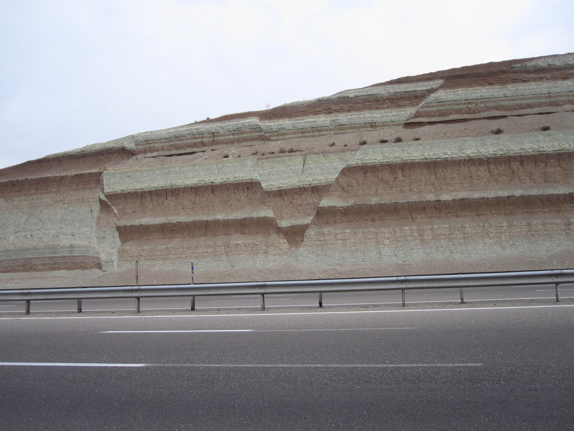
Our research compares the traditional and new methods of modeling by simulating the 2016 Petermann ranges earthquake in Australia. There have been four earthquakes in this region over the last 30 years that registered at a magnitude five or higher. The 2016 Petermann ranges earthquake occurred at a depth of one kilometre and ruptured 20 kilometres along the earth's surface. We hope that our research explains the steps that need to be taken to correctly estimate the sources of shallow earthquakes in Australia. We also hopes that agencies responsible for simulating earthquakes will adapt our methods in the future. It is important that the authorities who report earthquakes eventually use simulations of high frequencies in high resolution 3D earth models. It is a more computationally expensive method, but the accuracy with which it simulates these earthquakes means it is the only way forward.
You can read about our research in more detail in the following papers: